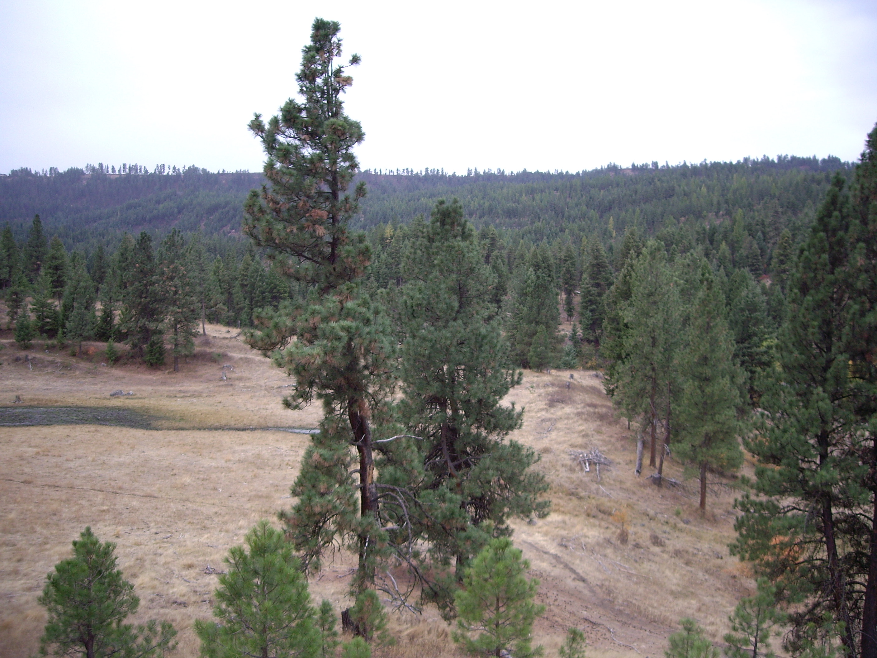
Desolation Creek Geomorphic Assessment and Action Plan
Protect, enhance and restore functional, healthy and sustainable riparian, floodplain, channel and watershed process for the purpose of protecting and restoring fisheries and aquatic species in the North Fork John Day watershed.

The CTUIR had been attempting to work with landowners of a large private parcel between RM 1.8 and 112 on Desolation Creek for some time. While these efforts did not result in implemented restoration actions the property was sold to a party who has expressed an interest in working with the CTUIR and other cooperators to revise grazing management and restore floodplain, riparian, and stream channel habitats. This interest combined with that of the UNF throughout the rest of the basin allowed for coordinated efforts across the entire basin save approximately 170 acres of private lands held separately. The geomorphic assessment’s development provided collaborators received a tiered list of prioritized actions developed using BPA’s ATLAS prioritization framework throughout the Desolation Creek basin. The framework inherently provides sufficient information to justify actions to funders. The CTUIR will take the lead in instream restoration on private lands given the standing conservation agreement while working with other collaborators on public lands to complete highly ranked restoration actions.